
The underwater topography of Komodo National Park is one of the defining features of its marine environment. Beneath the surface, the seascape extends far beyond coral gardens and colourful fish. Sloping reefs, submerged rock formations, underwater ridges, and channels between islands create a varied landscape that influences how divers experience the region.
Located within Indonesia’s Lesser Sunda Islands, Komodo is shaped by the relationship between land and sea. Its islands, coastlines, and narrow passages create a complex marine setting where underwater terrain and moving water interact. For divers, understanding this geography offers a deeper appreciation of the environment and helps explain why different dive sites can feel so distinct.
Rather than viewing Komodo as a collection of individual dive spots, it is worth exploring how its underwater structures connect to form one diverse marine landscape.
1. What Does Underwater Topography Mean?
Underwater topography refers to the shape and structure of the seabed. Just as landscapes on land include mountains, valleys, cliffs, and plains, the ocean floor has its own variations in elevation and form.
In Komodo National Park, divers may encounter sloping reef systems, rocky outcrops, submerged pinnacles, and deeper areas that descend beyond the visible reef. Some locations have relatively gentle profiles, while others feature more pronounced changes in depth.
These differences influence more than the appearance of a dive site. The shape of the seabed can affect how water moves around a formation, where marine organisms find shelter, and how a diver navigates the environment.
Understanding topography therefore adds another dimension to a dive. Instead of simply observing what lives underwater, divers can begin to understand the physical environment that supports it.
2. Reef Slopes Create a Changing Underwater Landscape
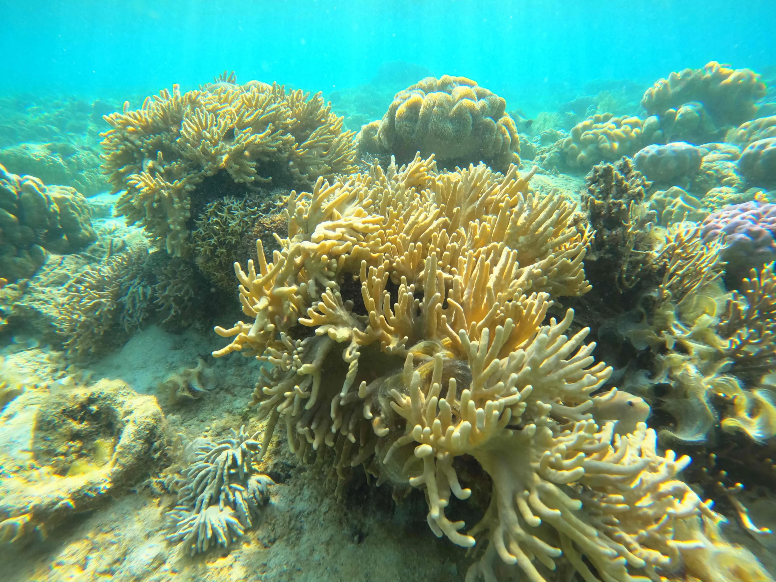
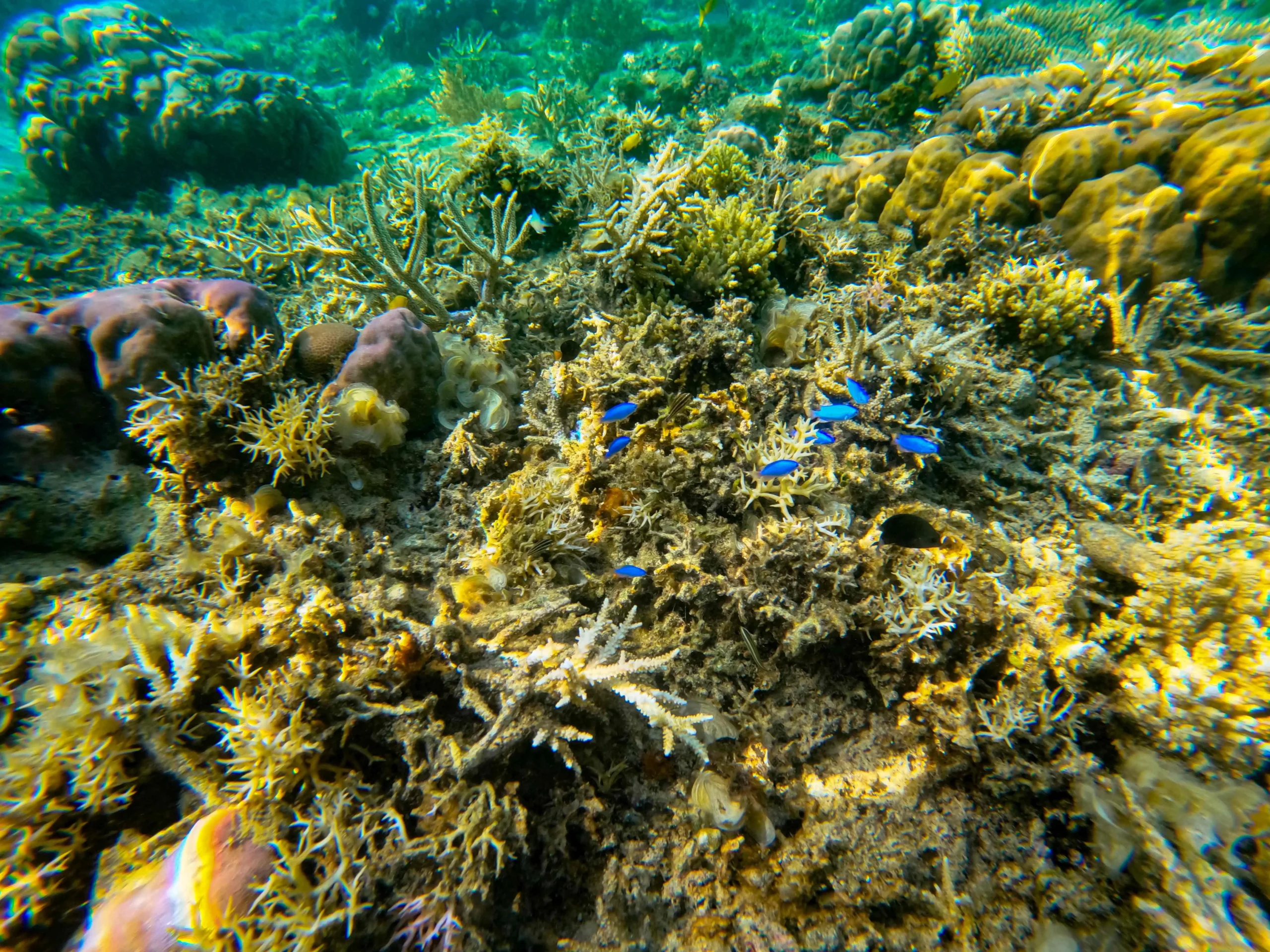
Reef slopes are among the underwater features divers may encounter around Komodo. These formations descend from shallower reef areas toward greater depths, creating a transition between different underwater zones.
As the slope changes, so can the amount of available light, the type of coral habitat, and the marine life encountered. Shallow sections may receive stronger sunlight, while deeper areas can have different lighting conditions and a different visual atmosphere.
For underwater photographers, a reef slope can offer opportunities to capture the relationship between coral formations, open water, and passing marine life. For divers interested in observing ecosystems, these transitions provide a chance to notice how habitats change across depth.
However, a visually appealing slope does not automatically make a site suitable for every diver. Depth limits, current, visibility, and personal experience remain important considerations when planning a dive.
3. Rocky Pinnacles and Submerged Formations Add Vertical Relief
Some underwater landscapes are defined by prominent rocky formations that rise from the seabed. Depending on the site, these structures may appear as isolated pinnacles, ridges, or irregular rock outcrops surrounded by open water.
Such formations create vertical relief, giving the underwater environment a more dramatic sense of scale. They can also provide surfaces and shelter for corals, sponges, and other marine organisms.
The shape of a formation can influence how water flows around it. Current may move differently along exposed faces, around corners, or through nearby passages. These variations are one reason divers should pay attention to site briefings rather than assuming that conditions will be uniform throughout a location.
The appeal of rocky underwater terrain is not limited to its scale. Looking closely at the surfaces reveals a layered habitat, where small organisms and larger marine life occupy different parts of the same structure.
4. Channels Between Islands Influence the Marine Environment
Komodo National Park contains islands separated by channels and passages. These waterways are important parts of the region’s geography, connecting different sections of the surrounding sea.
As tides change, water moves through these passages. The resulting currents can vary depending on the channel’s shape, the tidal phase, and local conditions. Narrow passages and changes in seabed depth can contribute to complex patterns of water movement.
For divers, this relationship between topography and current is essential to understand. A location’s underwater terrain can influence where currents accelerate, change direction, or behave differently across nearby areas.
Conditions can also change over time, so the same site may not offer an identical experience on every visit. Local professional guidance and an assessment of current conditions are important when selecting a dive location.
This is also why a detailed understanding of the map alone is not enough. Actual conditions must be evaluated before a dive begins.
5. How Topography Shapes Marine Habitats
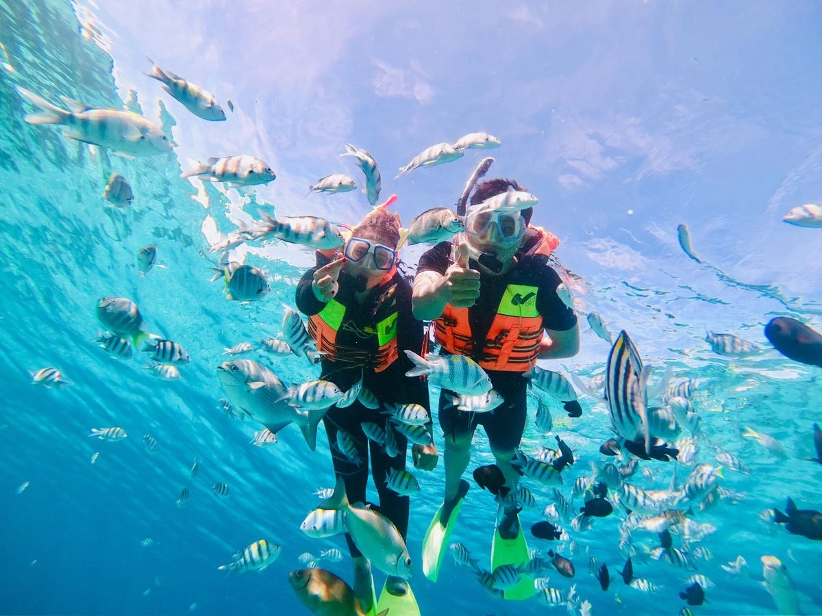
Underwater structures provide more than visual interest. They create habitats that marine organisms use for feeding, shelter, and other parts of their life cycles.
Reef surfaces can support corals and associated marine life, while crevices and sheltered spaces offer places for smaller organisms to hide. The transition between shallow reefs, steep slopes, and deeper water creates a range of environmental conditions within the same broader region.
Water movement also affects these habitats by transporting nutrients and influencing the availability of food. However, marine life distribution is shaped by multiple factors, including temperature, light, substrate, water quality, and ecological relationships.
This diversity means that two dive sites with very different physical structures may offer distinct opportunities for observation. One may be appealing for examining intricate reef details, while another may provide a wider view of the underwater landscape.
Every site has its own character, and marine life sightings can never be guaranteed.
6. Why Understanding Topography Matters Before Diving
Learning about underwater topography helps divers understand what to expect from a location. It can provide useful context when discussing depth profiles, route planning, and the possible effects of current.
Before a dive, consider asking the dive professional about:
- Depth profile: How deep is the planned route, and where are the depth limits?
- Current conditions: What conditions are expected, and how could they affect the plan?
- Entry and exit points: How will the group enter and leave the water?
- Experience requirements: Is the site appropriate for the diver’s certification and recent experience?
- Alternative plans: What happens if conditions are unsuitable?
These questions are particularly important in areas where underwater terrain and tidal movement interact. A dive plan should reflect the conditions and the abilities of the people participating, not simply the reputation of a famous site.
Divers should also remain within their training limits, monitor their depth and air supply, maintain communication with their buddy, and follow the dive professional’s briefing.
7. Discovering Komodo Beyond Its Surface
The underwater topography of Komodo National Park reveals another side of the destination. Its reef slopes, rocky formations, and island channels create a landscape that influences both the marine environment and the experience of exploring it.
Understanding these features can make a dive more meaningful. Instead of focusing only on individual marine animals, divers can observe how the shape of the seabed, changing depth, and water movement contribute to the character of each location.
The best way to appreciate this environment is through thoughtful preparation, responsible diving practices, and a willingness to adapt to local conditions. With the right planning, the underwater landscape becomes more than a backdrop; it becomes an essential part of the journey.
Plan Your Private Komodo Journey with Escape Liveaboard
Explore Indonesia’s remarkable seascapes with Escape Liveaboard, offering private Phinisi charters for travellers seeking a more personal way to experience the ocean.
Share your interests and diving experience with the team to discuss possible destinations, activities, and itinerary arrangements based on conditions and availability.
Plan your private journey in Komodo with Escape Liveaboard.
WhatsApp: +62 811 399 677
Email: info@escapeliveaboard.com
Website: https://escapeliveaboard.com/contact/
Escape Liveaboard A Space to Reconnect and Unwind.
